Valdevaqueros dune and Punta Paloma
1 h 15 min · 6 stops
© Christian Hergesell
 Next stop
Punta Paloma road, at the foot of the dune
Stop 1 of 6© Herbert Ritsch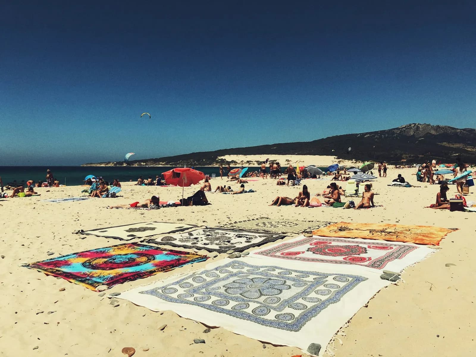
Punta Paloma road, at the foot of the dune
No audio for this stop
The line joins the stops in order. It doesn't trace the path street by street.
The walk
Coastal walk
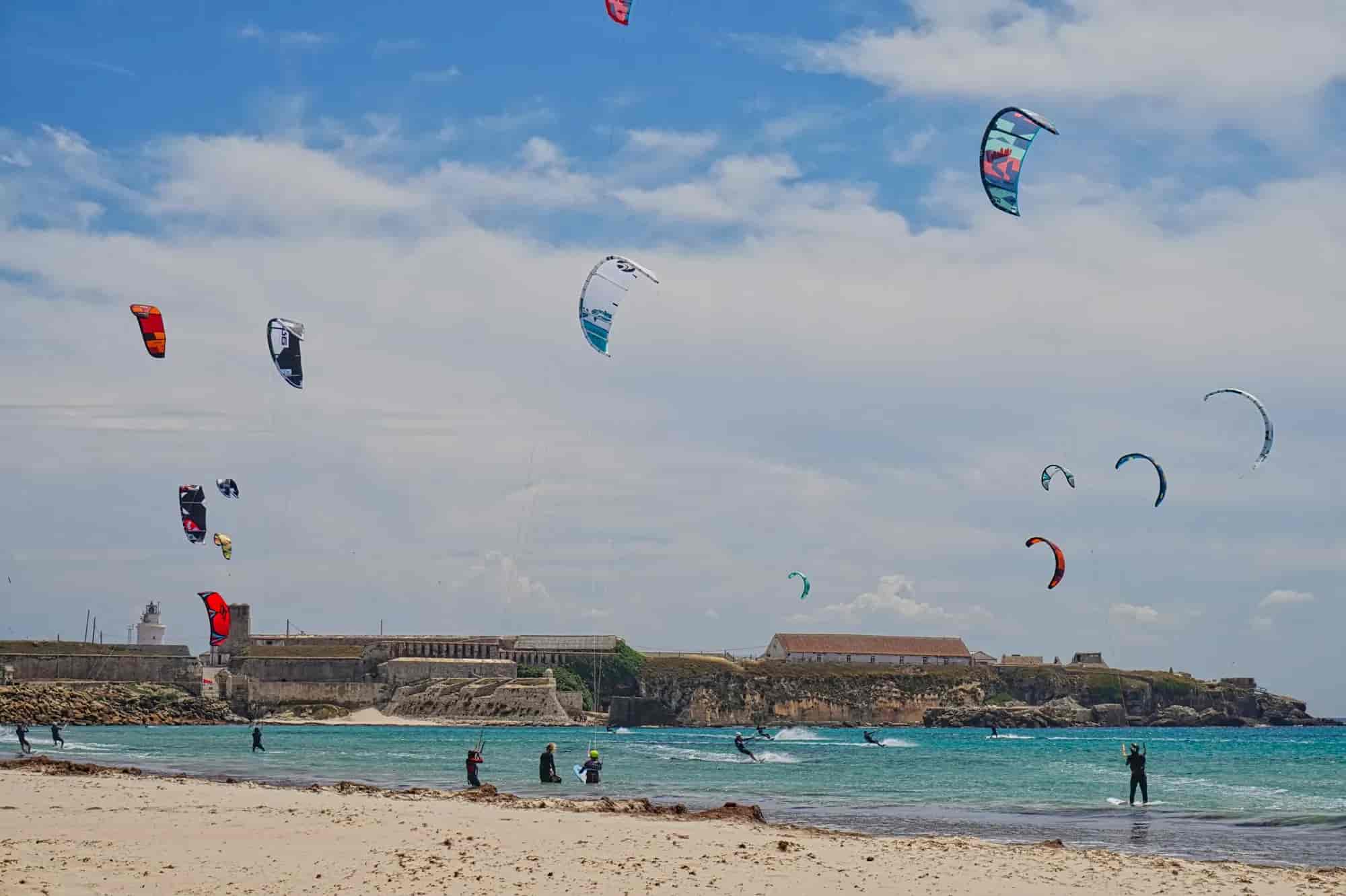
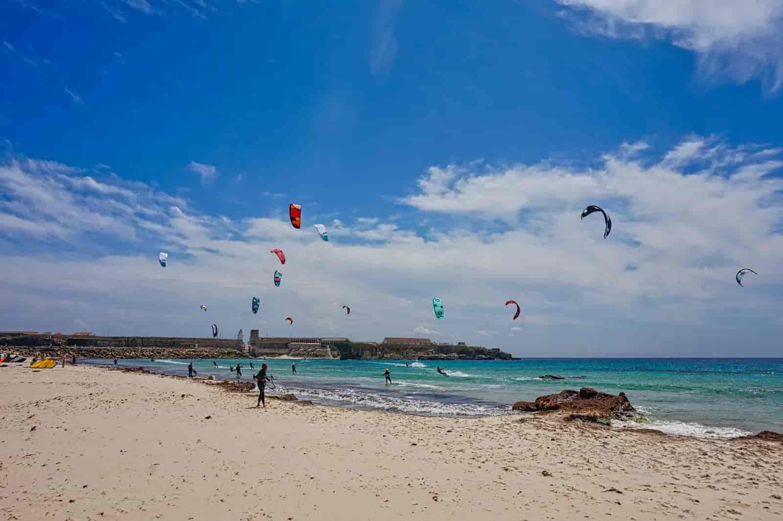
A short walk around the western end of Valdevaqueros bay: you climb the big dune that spills over the road, cross the pine wood that holds it back and drop down to Punta Paloma beach. It is not a signposted trail; it follows the local road and the sand, so watch out for cars. In a strong easterly the sand flies and stings: that day it is better admired from a distance. It is the best viewpoint over the Valdevaqueros kite zone and a great sunset spot when the wind is westerly.
- Time1 h 15 min
- Distance2.6 km
- DifficultyEasy
- Stops6
Stops
© Herbert Ritsch 1. Punta Paloma road, at the foot of the dune
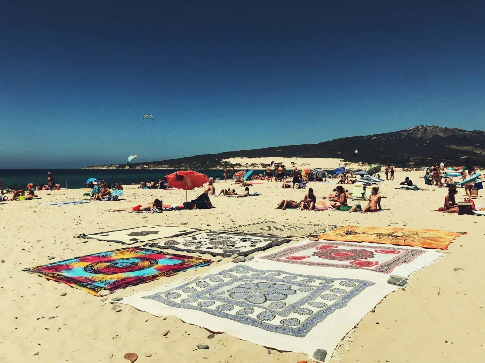
You reach Punta Paloma on the A-2325 road, which leaves the N-340 at kilometre 74 and immediately crosses the river Valle. You are at the back of Valdevaqueros bay: about four kilometres of beach between Punta Paloma and Punta de la Peña. In antiquity the Hispano-Roman settlement of Mellaria stood in this bay.
2. Dunes viewpoint
This is where the dune reaches the road. Its origin is not entirely natural: it formed in the 1940s, when the military stationed in the area tried to stop the sand that was threatening their installations. The result was a large dune that was later partly fixed with pines, and it is still growing.
3. Crest of the Valdevaqueros dune
From the top you look over the whole bay, with the estuary of the river Valle running parallel to the shore, and the coast of Morocco to the south. Nothing grows on the active dune; on the fixed part you find junipers and mastic bushes. Always come down over clean sand, not through the pines.
4. Valdevaqueros pine wood
The road enters the pine wood that fixes the dune, an important nesting area for birds, with protected plants such as junipers and dwarf palms. Up on the hill are the military installations of Paloma Alta, a former coastal battery that is no longer active.
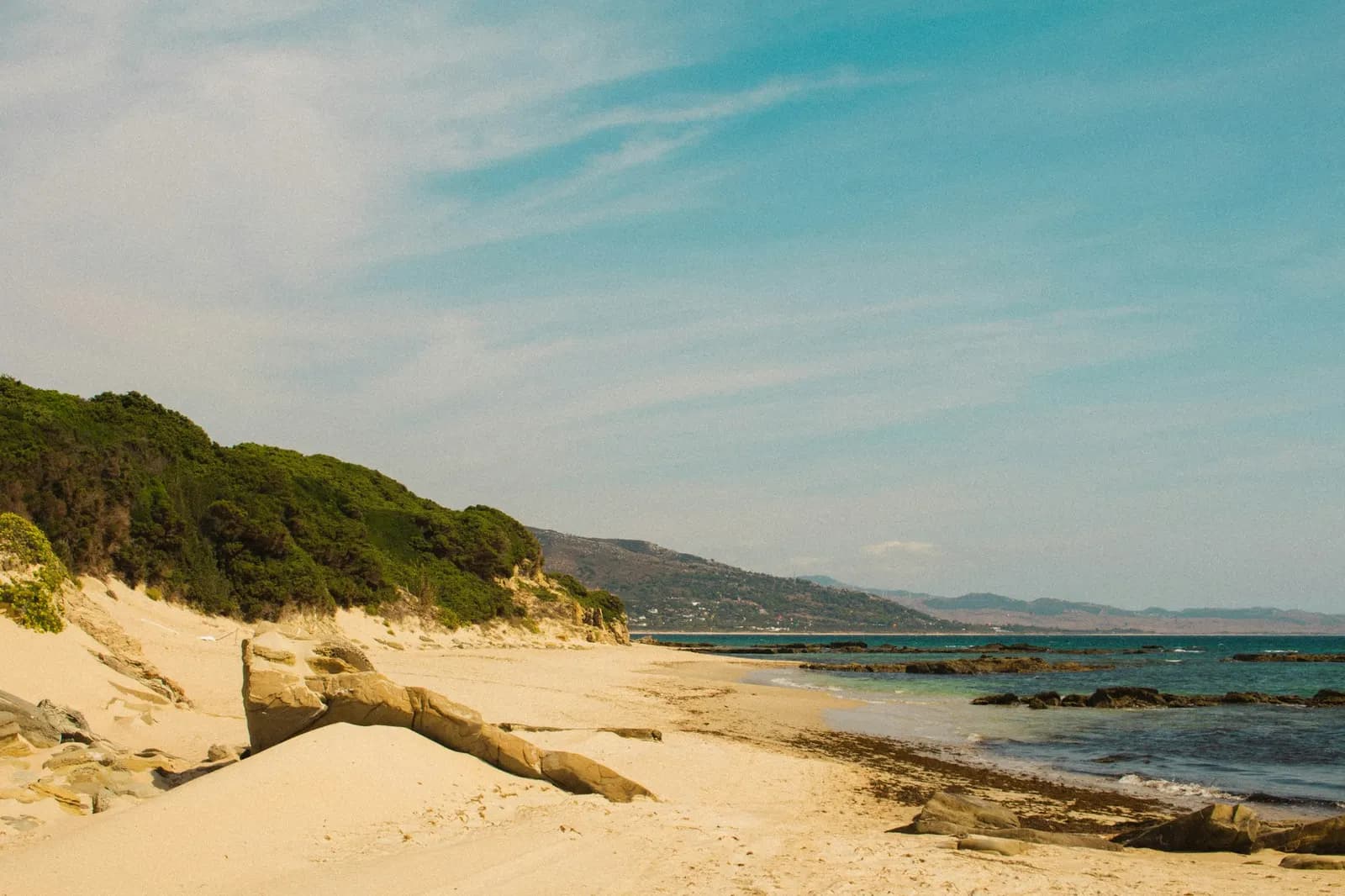
© Miguel Bernardo 5. Punta Paloma: end of the Algarbes–Betijuelo trail
This is where the official Algarbes–Betijuelo trail ends after coming down from the Sierra de San Bartolomé. Punta Paloma is a headland on the spurs of that range; it once had a 16th-century watchtower of which, according to documents from 1826, not even the ruins were left. The Paloma Baja settlement belongs to the Ministry of Defence: respect fences and signs.
6. Punta Paloma beach
Fine golden sand, moderate waves and fewer people than in the middle of Valdevaqueros. Further west there are other small, isolated coves. You have two ways back: the road you came on or, tide permitting, the shoreline to the foot of the dune.