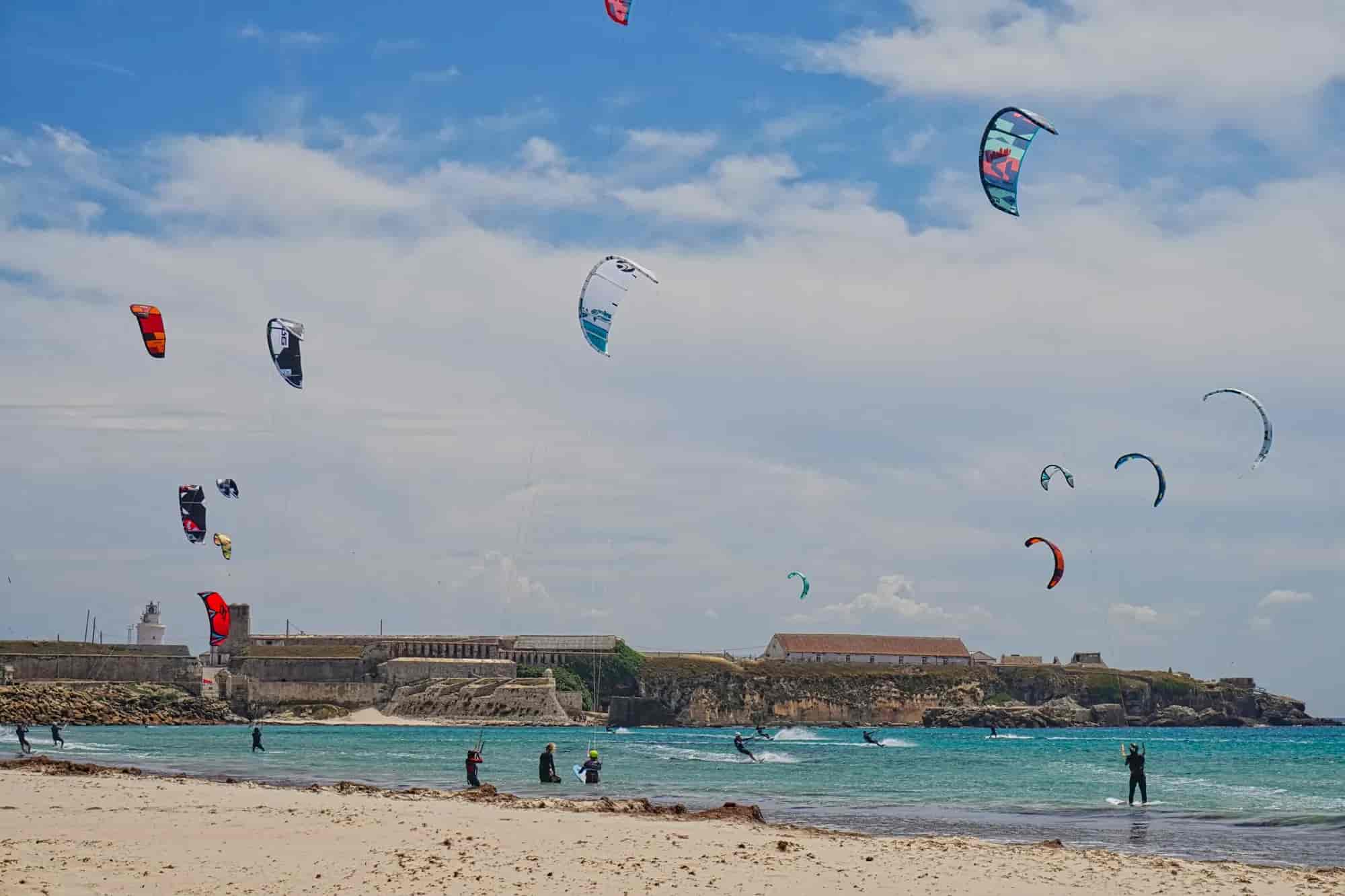
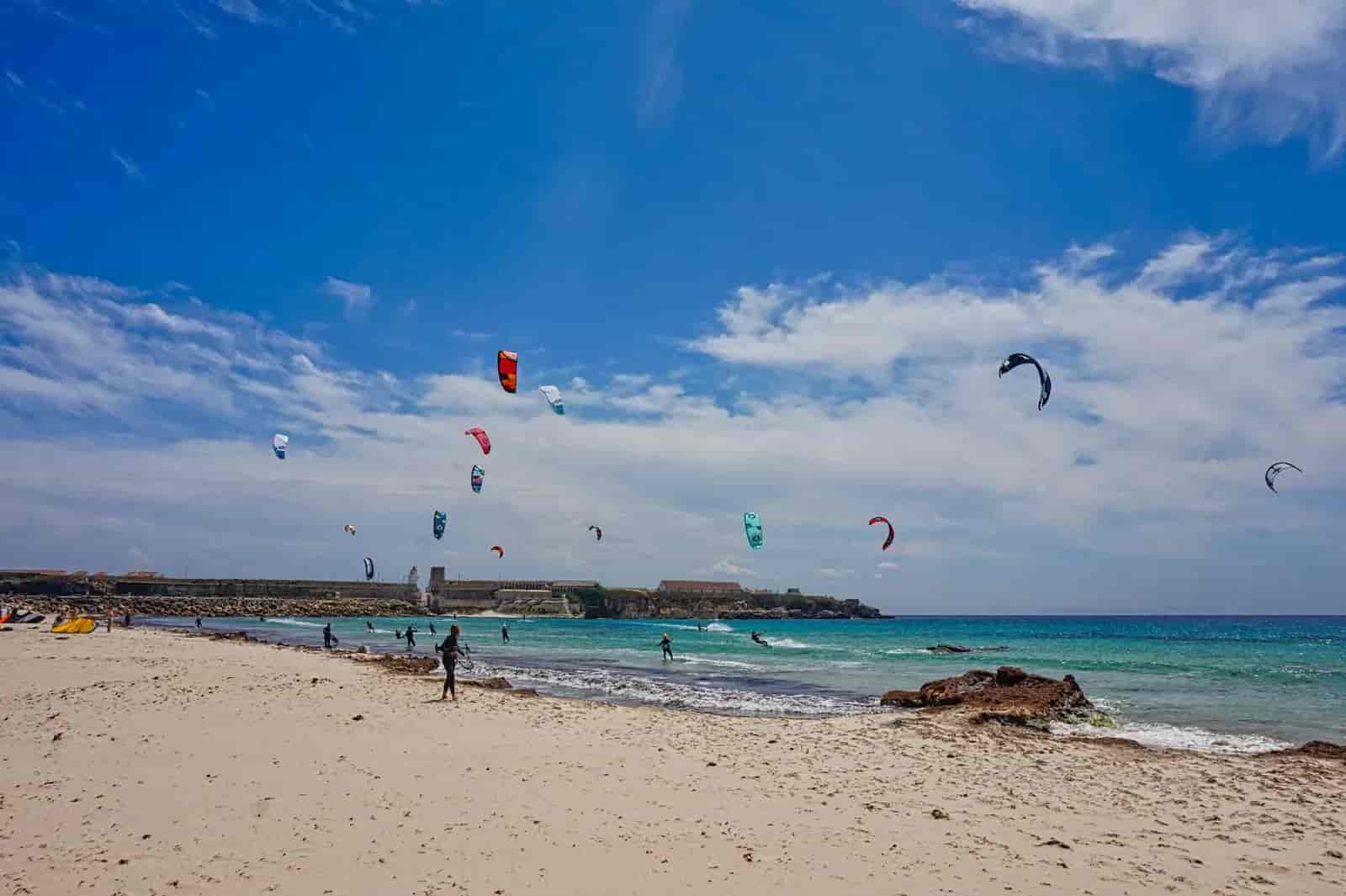
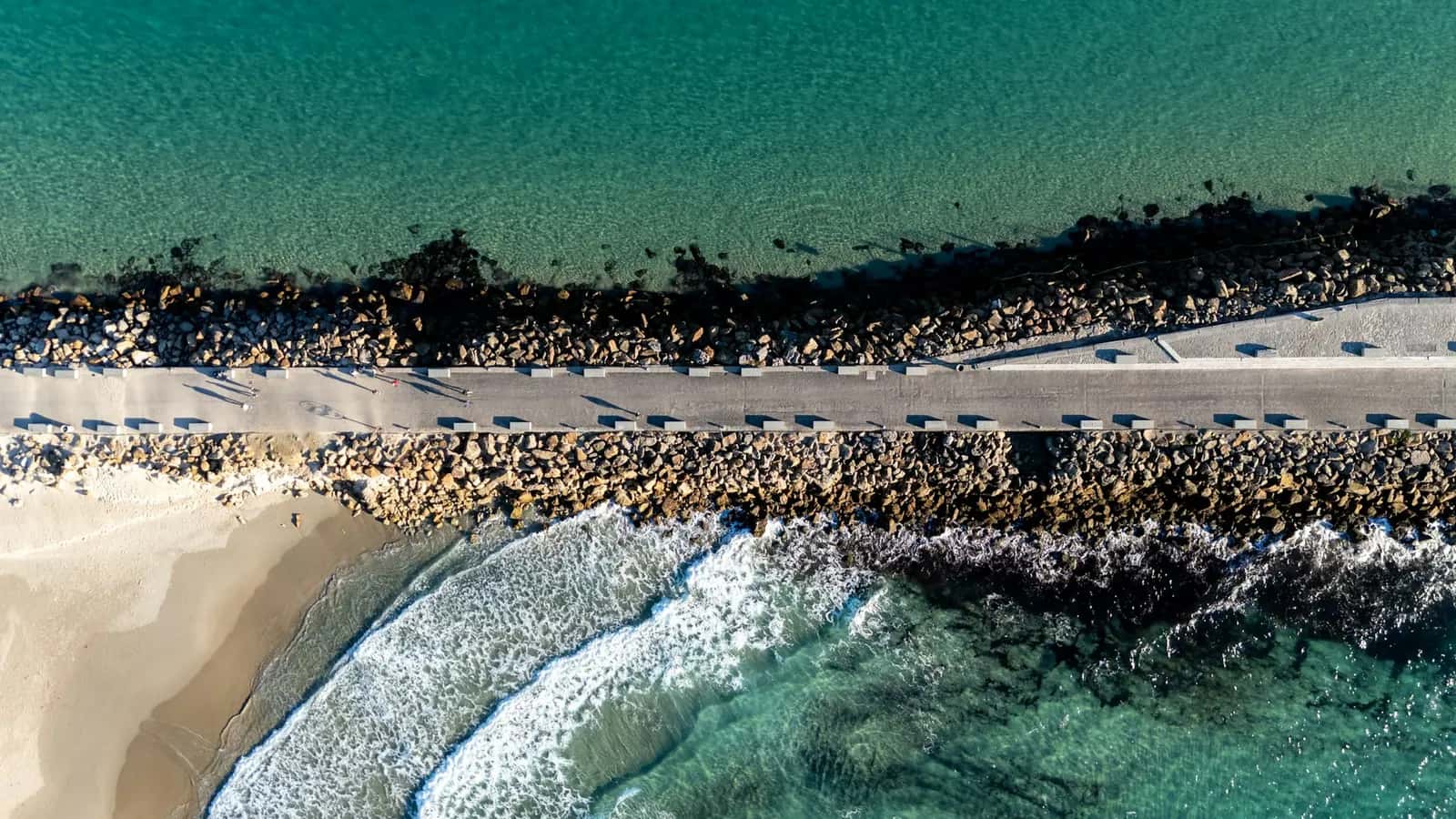
Harbour, island causeway and Los Lances promenade
1 h 15 min · 8 stops
© Christian Hergesell
 Next stop
Harbour viewpoint below the castle
Stop 1 of 8© Alessandro Prato
Harbour viewpoint below the castle
No audio for this stop
The line joins the stops in order. It doesn't trace the path street by street.
The walk
Coastal walk
A flat walk from the foot of the castle to the gate of the Isla de las Palomas, along the causeway that separates the Mediterranean from the Atlantic, and back along the Los Lances seafront. This is the route for understanding why sea, wind and beaches change here within a few metres. In a strong easterly the causeway gets uncomfortable with blown sand and spray. Access to the island itself is regulated: ask at the tourist office.
- Time1 h 15 min
- Distance2.5 km
- DifficultyEasy
- Stops8
Stops
1. Harbour viewpoint below the castle
The walk starts by the southern end of the Alameda, below the Guzmán el Bueno tower. From here you look over Tarifa harbour, the European port closest to North Africa and the main departure point for Tangier. An information board marks the start of the island path.
2. Harbour and monument to the Men of the Sea
This is a fishing, commercial and passenger harbour. The breakwater that shelters it and the causeway linking the island to the mainland were both built by Antonio González Salmón in 1808. Next to the monument to the Men of the Sea you can see the lifting carriage of the old Titan crane.
3. Castle of Santa Catalina
It looks Renaissance, but it was built between 1930 and 1931 to house a maritime signal station that was never installed. The hill is named after a chapel that served as a quarantine house and powder store and was pulled down during the Peninsular War to build a fort. Today the building is closed and in poor condition: you can only see it from outside.
4. Playa Chica
The smallest and most sheltered beach in town, tucked between the harbour and the island causeway, already on the Mediterranean side. When the wind makes Los Lances unbearable, the water here is usually calmer. It is the local families' favourite.
5. The causeway between two seas
Until 1808 the island was cut off from the mainland; the causeway was built that year. Two signs mark the divide: Mediterranean to the east, Atlantic to the west. On a windy day you can see the difference between the two sides just by looking at the waves.
© Alessandro Prato 6. Gate of the Isla de las Palomas and Punta de Tarifa
The southern tip of the island, Punta de Tarifa, is the southernmost point of mainland Europe. The island holds Phoenician-Punic rock tombs, quarries worked since Roman times and fortifications begun in the 17th century; the lighthouse stands on an old watchtower. It used to be military land and is now part of the Estrecho Natural Park.
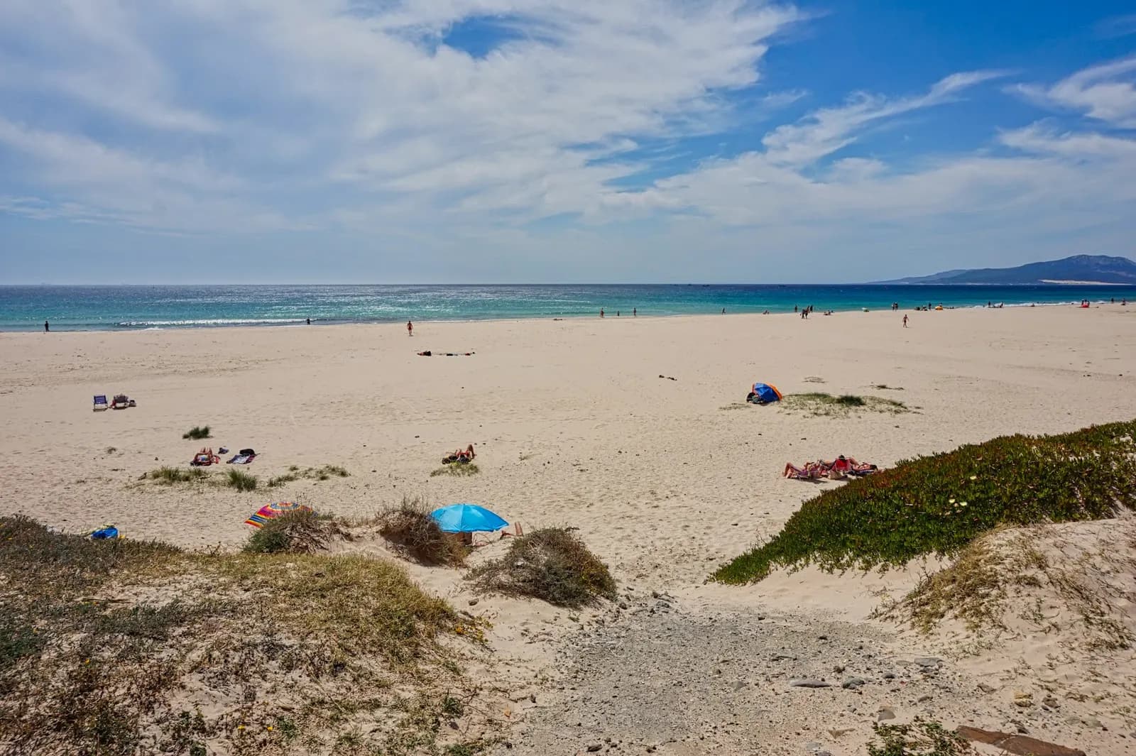
© Christian Hergesell 7. Start of Los Lances beach
This is where Los Lances begins, the last Atlantic beach on the Iberian Peninsula: just over seven kilometres of sand from Punta de Tarifa to Punta de la Peña, about 120 metres wide on average. The stretch next to town is known as Los Lances Sur; the river Jara separates it from Los Lances Norte.
8. Los Lances beach viewpoint
The end of the walk, with the whole sweep of Los Lances ahead and the island behind you. The sun sets over the sea here. If you want more, the boardwalk trail through the nature reserve starts about 900 metres further on and has its own route.