Colada de la Costa: from Tarifa to the Guadalmesí tower
2 h 30 min · 8 stops
© Christian Hergesell
Trailhead by the town wall
No audio for this stop
The line joins the stops in order. It doesn't trace the path street by street.
The walk
Hike
The first half of the official Colada de la Costa–Huerta Grande trail in the Estrecho Natural Park: about eight kilometres along an old drovers' road, always above the sea with Africa opposite, as far as the Guadalmesí watchtower. The full trail is 16.3 km (5 hours, moderate) and ends at Huerta Grande. There is no shade and no water: bring water, sun protection and binoculars, and watch out for loose cattle. The easterly wind hits you head-on here; in strong wind save it for another day. It is linear, so allow for the walk back the same way.
- Time2 h 30 min
- Distance8.2 km
- DifficultyModerate
- Stops8
Stops
1. Trailhead by the town wall
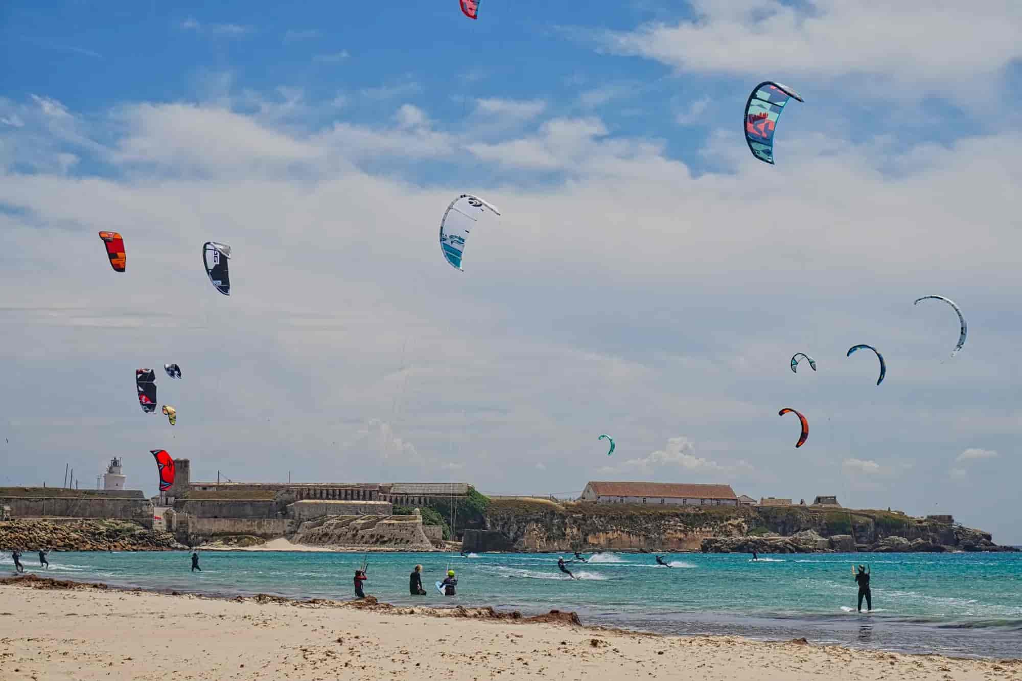
The trail starts beside the tower at the south-eastern corner of the walls, about three hundred metres from the ferry terminal, where there is a natural park information board. The first stretch follows the Colada de la Costa, the old drovers' road between Tarifa and Algeciras.
2. Punta Camorro
Within a few minutes Tarifa is behind you. On Monte Camorro stands the Maritime Rescue Coordination Centre, known as Tarifa Tráfico, which monitors shipping through one of the busiest stretches of sea in the world. A good place to look back: town, harbour and island in a single view.
3. Pastures above the Strait
The landscape is wind-swept pasture, with patches of oleander and mastic along the gullies and around the farmsteads. Cattle roam free here, mostly cows: walk past calmly and keep your distance. Around you are the first bunkers of the Strait's defensive line.
4. Barranco Hondo and the flysch ledges
Level with the Barranco Hondo farmhouse the trail rejoins the drovers' road. Down on the shore, striped rock platforms stick out: this is flysch, hard layers of limestone and sandstone alternating with soft marl and clay, which the sea wears away unevenly. They show best at low tide.
5. Punta de Oliveros: the narrowest point
Between Punta de Oliveros and Punta Cires, on the Moroccan shore, the Strait is just under fourteen and a half kilometres wide: its narrowest part. Tens of millions of birds of more than 150 species cross this corridor every year. There is a cluster of farm buildings by the Oliveros gully.
6. Bunker above Guadalmesí cove
Past the Arroyo de las Viñas, a bunker next to the path tells you Guadalmesí is close. After the Civil War this whole coast was fortified with machine-gun posts under the so-called Campo de Gibraltar defence plan. Today they are heritage and makeshift viewpoints; do not go inside if they look unsafe.
7. Guadalmesí bird observatory
A bird hide reminds you that this is one of the best places in Europe to watch migration. The soaring birds that cross here include white and black storks, black kites, booted and short-toed eagles, Egyptian vultures and griffon vultures; up to three thousand black kites have been counted in a single day.
8. Guadalmesí tower
A watchtower from the time of Philip II: approved in 1577, with building work starting in 1588. It is about 15 metres high and 12 across at the base, and has been a listed monument since 1985. It kept watch over the Strait and, above all, stopped enemy ships taking on water at the river, the only place on this coast with fresh water in summer.