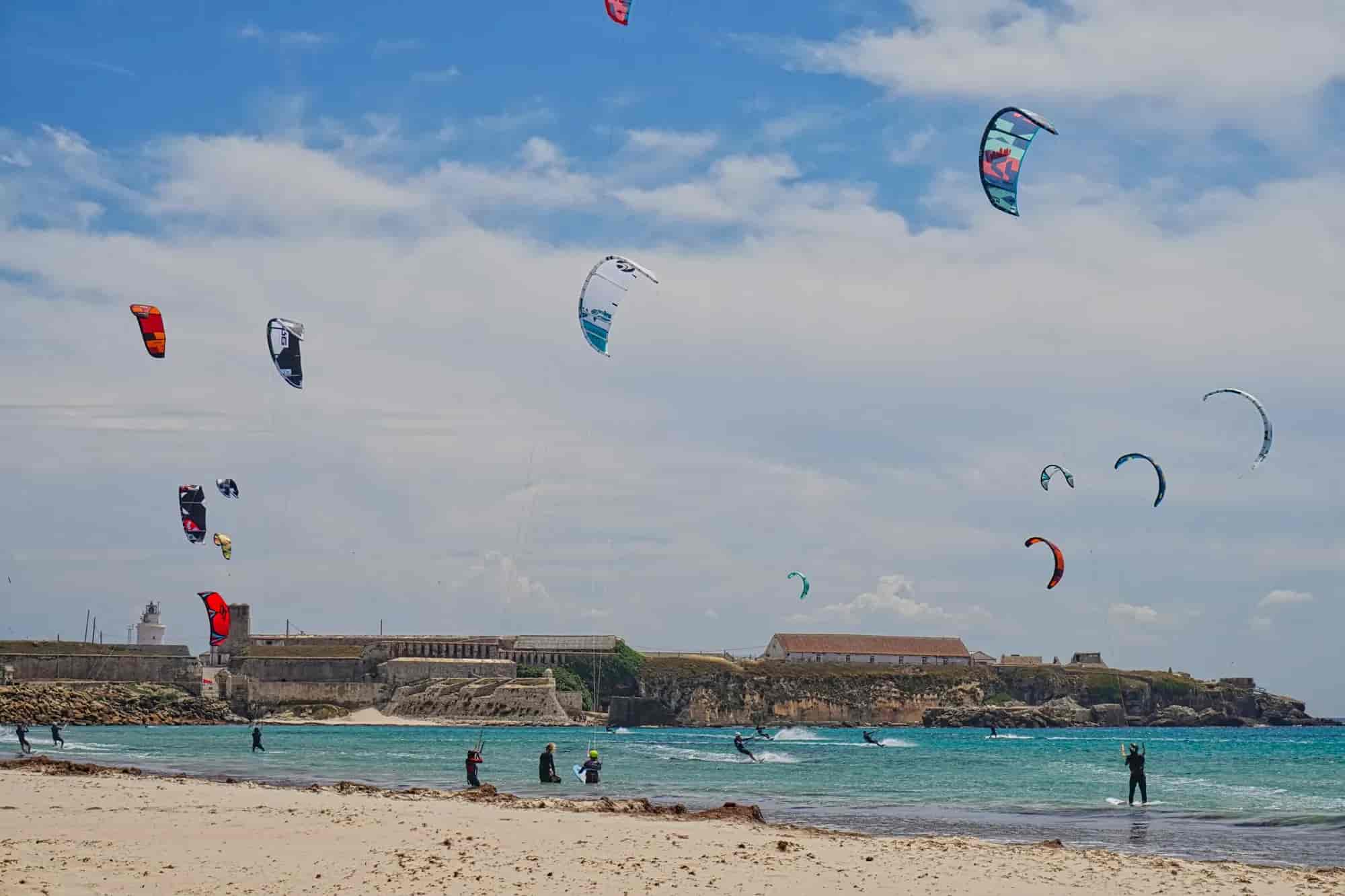
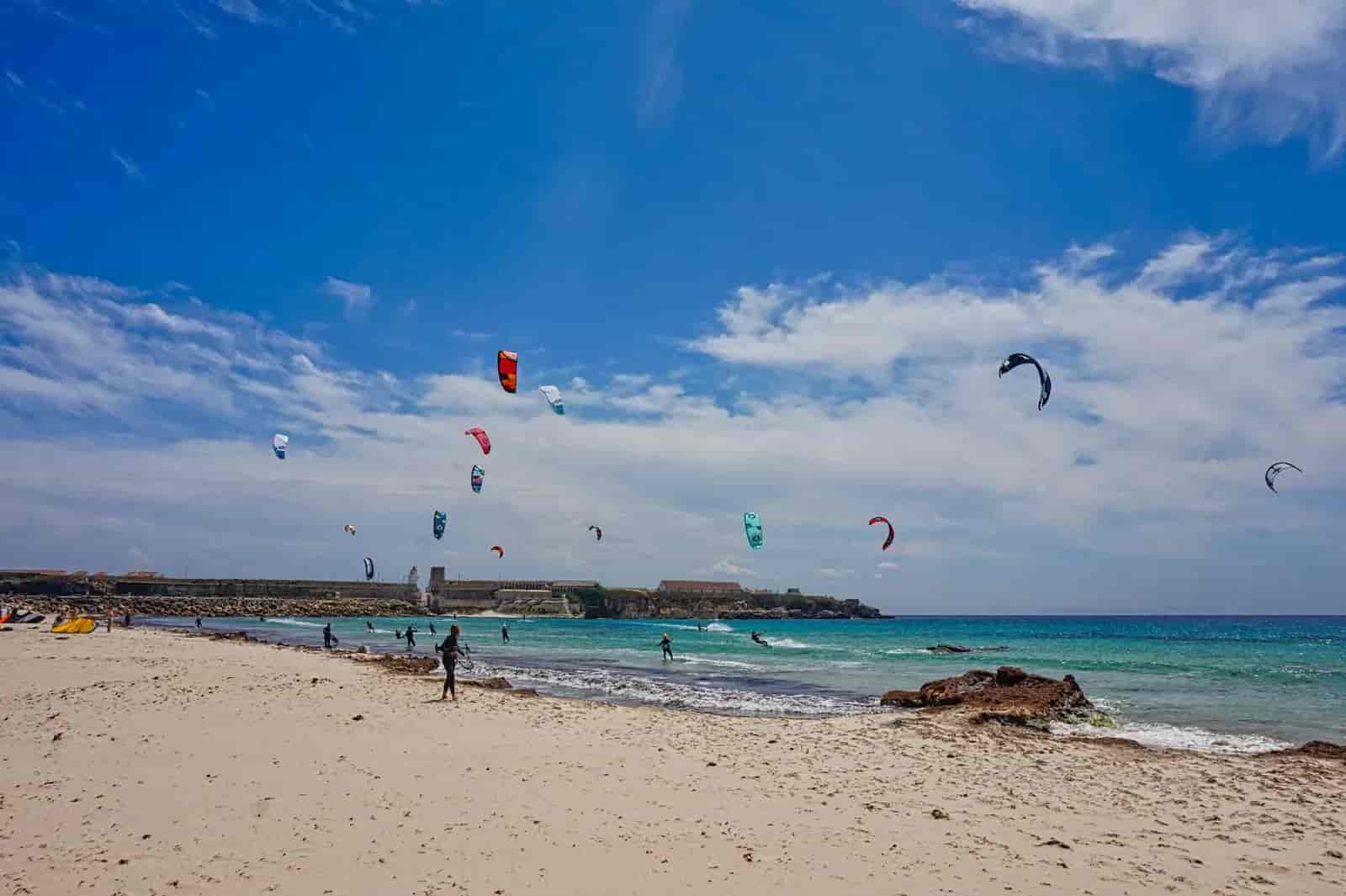
Los Algarbes–Betijuelo: necropolis and Sierra de San Bartolomé
3 h · 7 stops
© Christian Hergesell
 Next stop
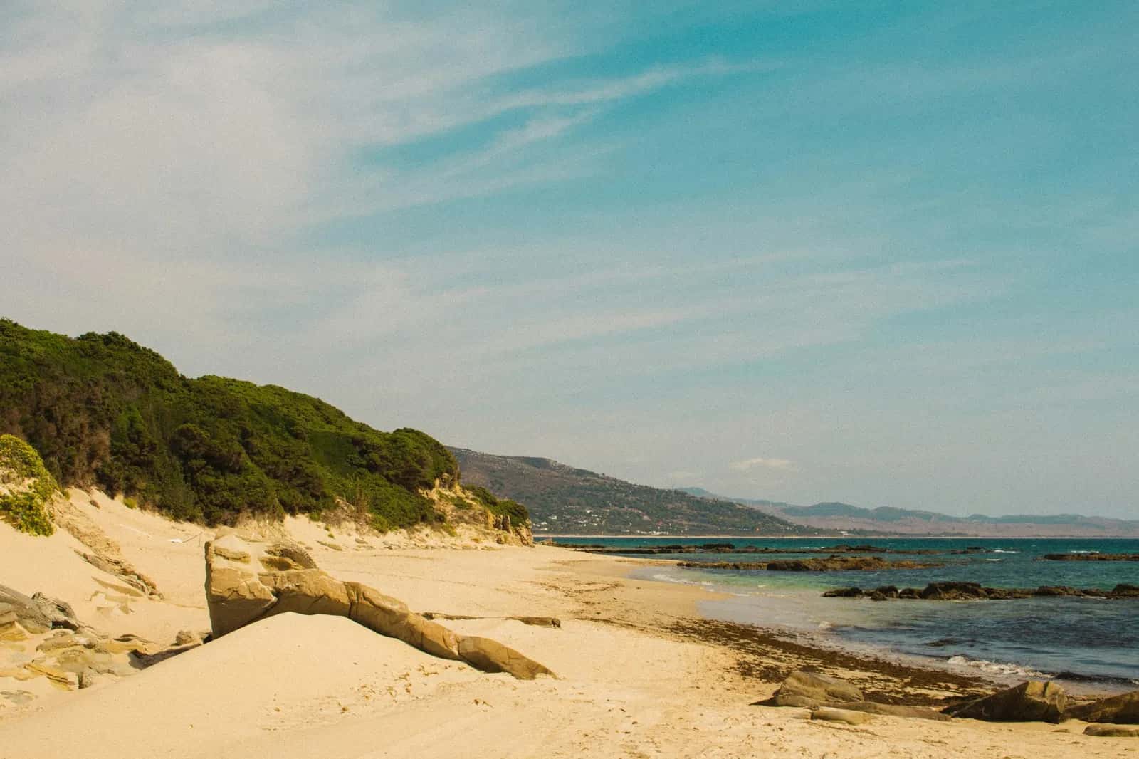
Car park and trailhead
Stop 1 of 7© Miguel Bernardo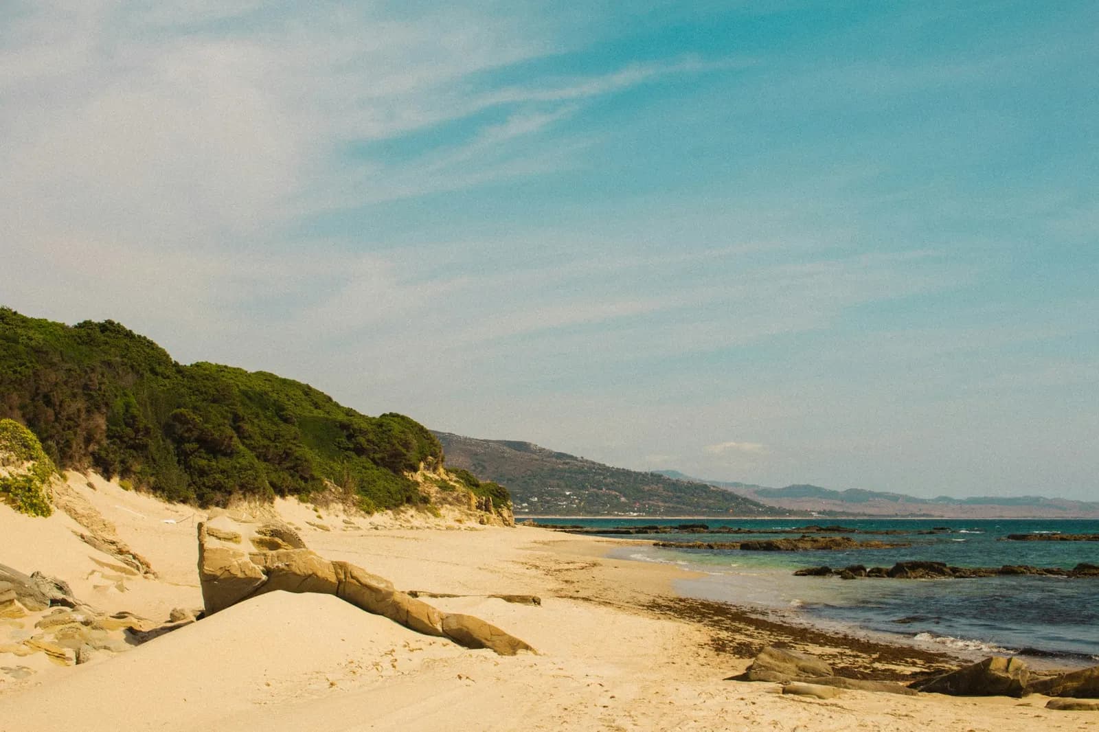
Car park and trailhead
No audio for this stop
The line joins the stops in order. It doesn't trace the path street by street.
The walk
Hike
An official Estrecho Natural Park trail shaped like a V opening towards Valdevaqueros: it leaves from the Bronze Age necropolis of Los Algarbes, climbs through eucalyptus and pine to a trig point more than three hundred metres up on the slopes of San Bartolo, and descends a firebreak to Punta Paloma. It is 5.6 km one way, about three hours and moderate, with almost 290 metres of climb and stretches of loose stone. The end is about two kilometres from the start by road, or along the beach if the tide allows. Bring water and proper footwear, and watch out for cattle.
- Time3 h
- Distance5.6 km
- DifficultyModerate
- Stops7
Stops
1. Car park and trailhead
At kilometre 74 of the N-340 the A-2325 road turns off for Punta Paloma. It crosses the river Valle and, just past the Paloma campsite, the first track on the right leads in a few metres to the car park and the trailhead sign. You can also park halfway along the route, at Betijuelo.
2. Los Algarbes necropolis
One of the most important prehistoric sites in the province, dated to around the end of the 3rd millennium BC: some fifty tombs and artificial caves cut into a sandstone outcrop, a kind of fossilised dune. The grave goods included pottery, pieces of metal, ivory and gold, and shell ornaments. There are also two body-shaped tombs.
3. Eucalyptus wood and turn-off to the ridge
The path heads west into a eucalyptus wood where mastic, dwarf palm and kermes oak also grow. After about three hundred metres of gentle climbing you leave the track, which carries on to the houses and military installations of Paloma Alta, and turn right onto a smaller path that makes for the Loma de San Bartolomé.
4. Betijuelo
The trail crosses the Paloma Alta road and enters Betijuelo, a scattered rural hamlet long inhabited by smallholders with a few head of livestock. You can drive here and there is a car park by the roadside, so it works as an alternative starting point.
5. Trig point: the highest spot
At about 309 metres above sea level, this is the point of the V. The view takes in the Atlantic coast of Cádiz from Trafalgar to Tarifa: the Valdevaqueros dune to the left, the Bolonia dune to the right and, beyond it, Cabo de Gracia with its lighthouse on an old watchtower. To the south, over the pines, the Strait and Africa.
6. Firebreak and Arroyo de los Puercos
The descent follows a firebreak between dense pine woods with very varied undergrowth. After about a kilometre you reach the bed of the Arroyo de los Puercos, nearly always dry, though its width gives away how much water it can carry. This is the stretch with the most loose stone: take your time.
© Miguel Bernardo 7. End point on the Punta Paloma road
The trail ends at the road, next to Paloma Baja, land that also belongs to the Ministry of Defence. To close the loop it is about two kilometres along the tarmac back to the start; if the weather and tide allow, the Junta suggests trying the return along the beach.