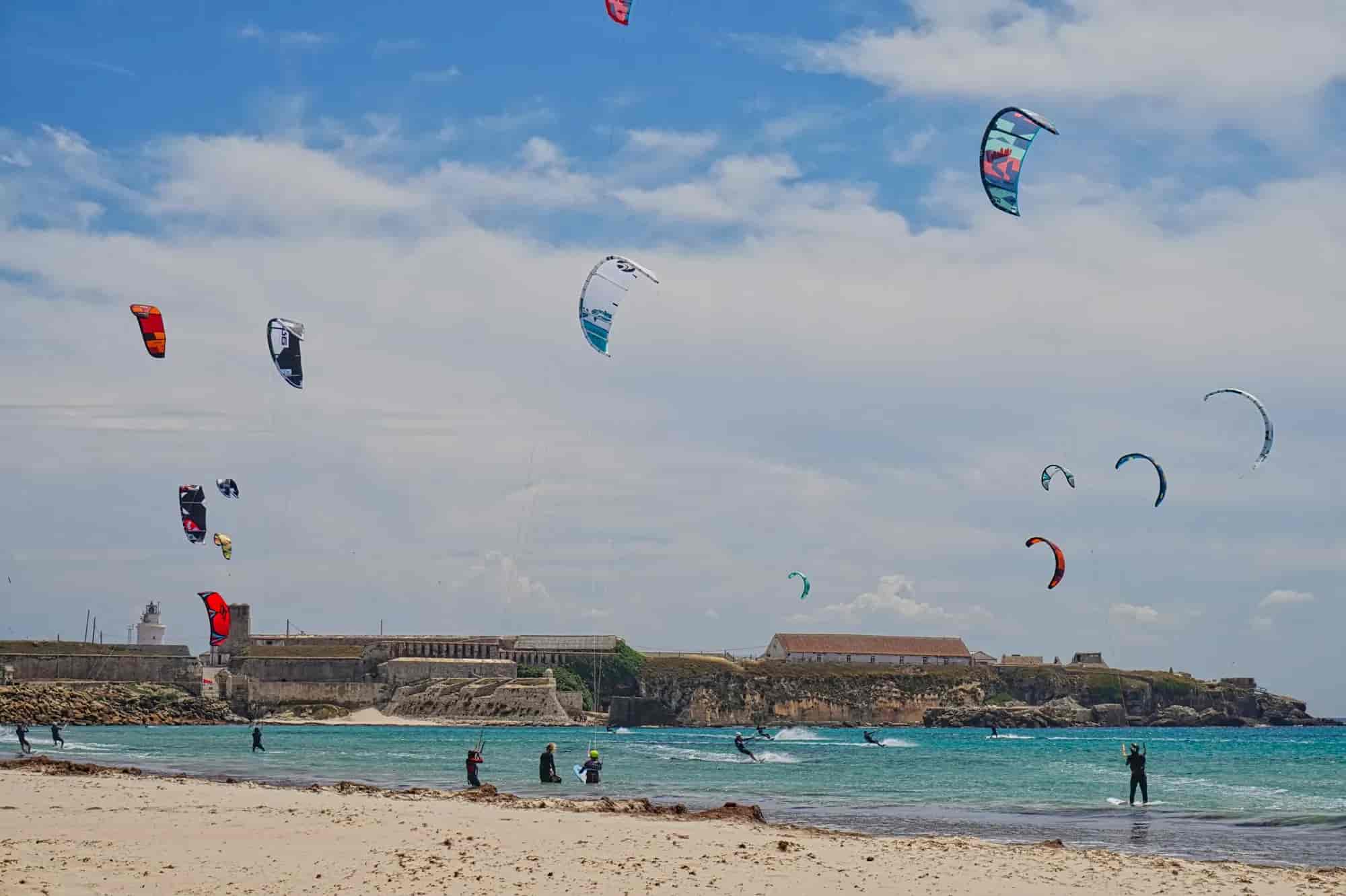
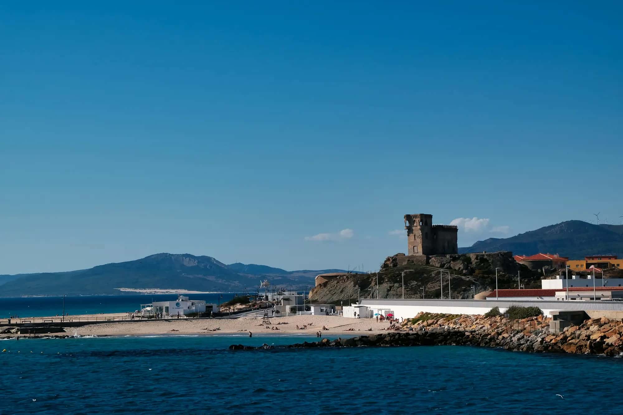
Illustrative photo© Gunnar Ridderström
Punta de Tarifa
- Islands and headlands
- Views
- Photogenic
The southernmost point of mainland Europe, at the southern tip of Isla de las Palomas.
Harbour
What it's like
Latitude 36° north: there is no European mainland further south. The point is also the geographical divide between the Atlantic Ocean and the Mediterranean Sea, and on it, at the island's highest spot, stands the lighthouse. As it lies inside the island, you can only set foot on it on a booked visit; otherwise the closest you get is the gate at the end of the causeway.
Tip
If island visits are not running, the 'between two seas' photo is taken on the causeway, where there are Atlantic and Mediterranean signs.
Good to know
Good for
CouplesSolo travellersGroupsFamilies
Good in ponienteBest without windViewsPhotogenicNatureHistory
What to see