Playa de Bolonia
- Beaches
- Open beach
- Nature
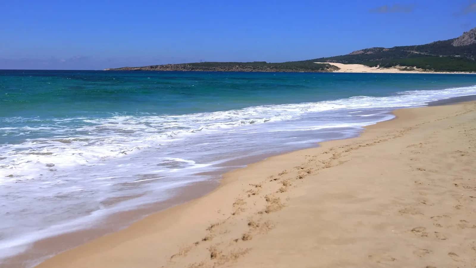
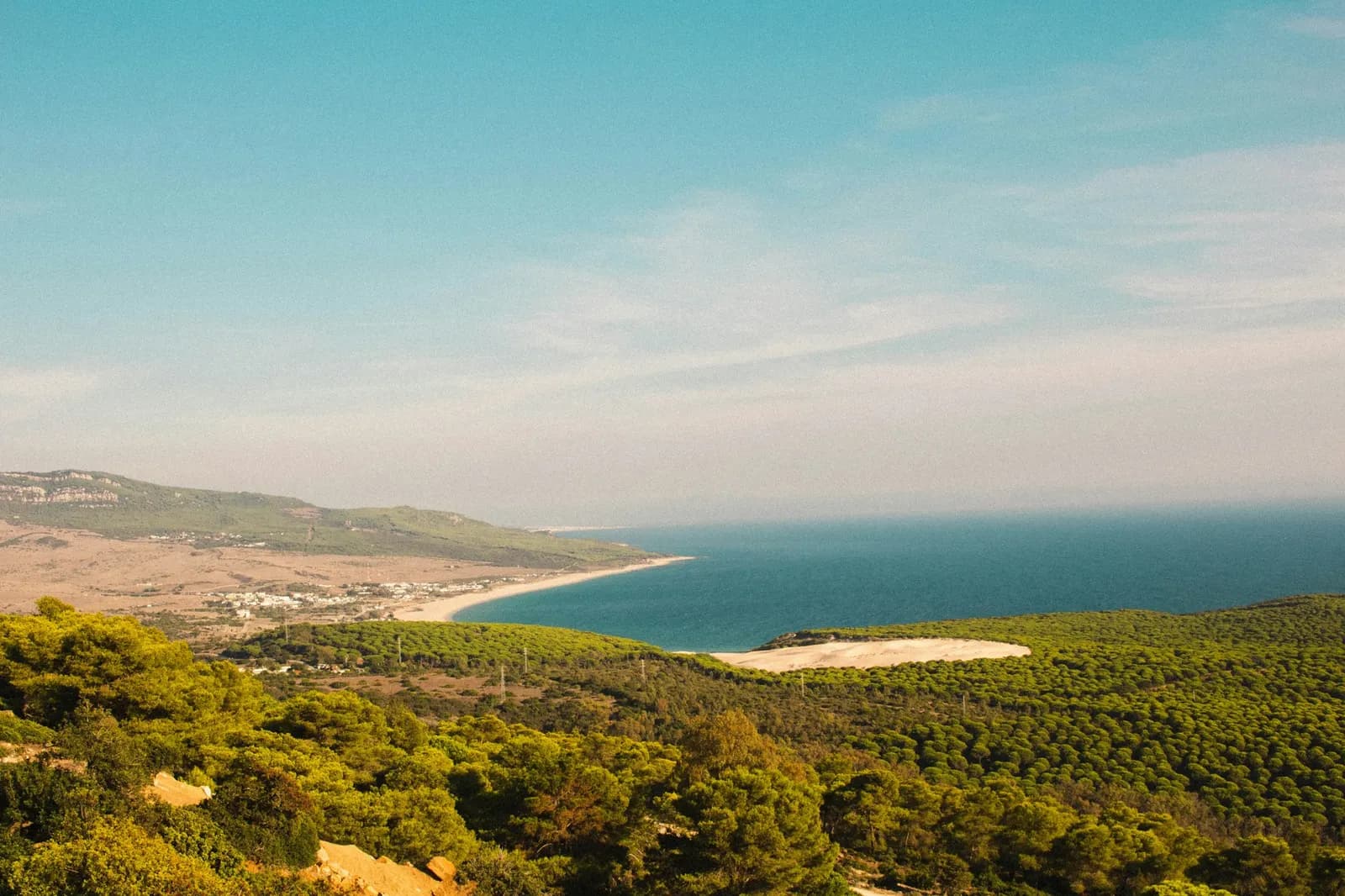
Nearly 4 km of white, barely built-up sand, with the dune at one end and Baelo Claudia behind.
Bolonia
What it's like
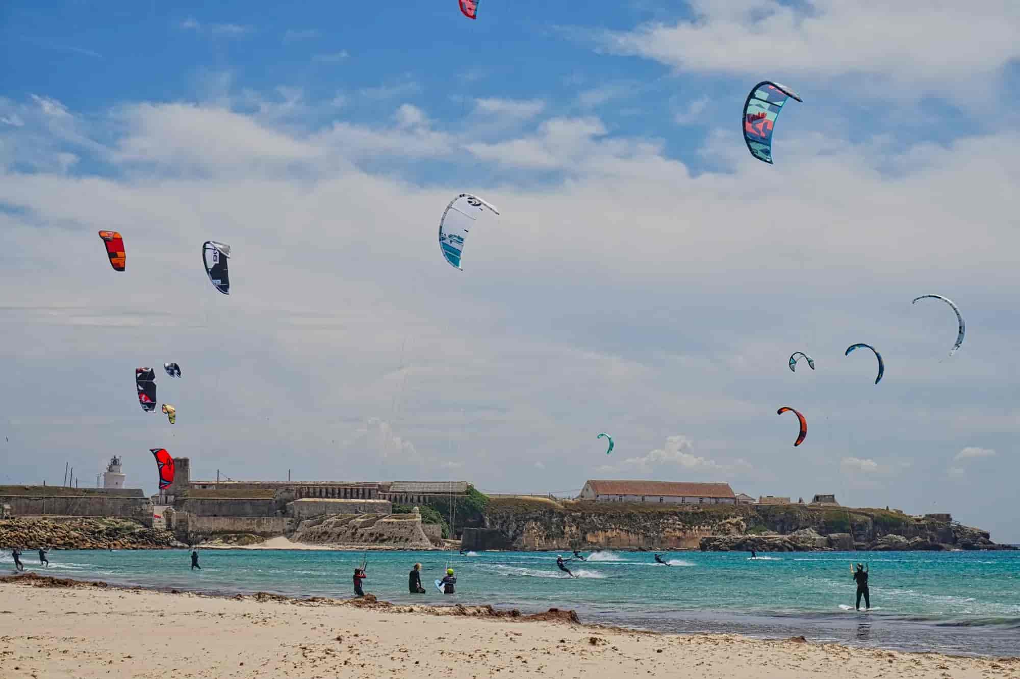
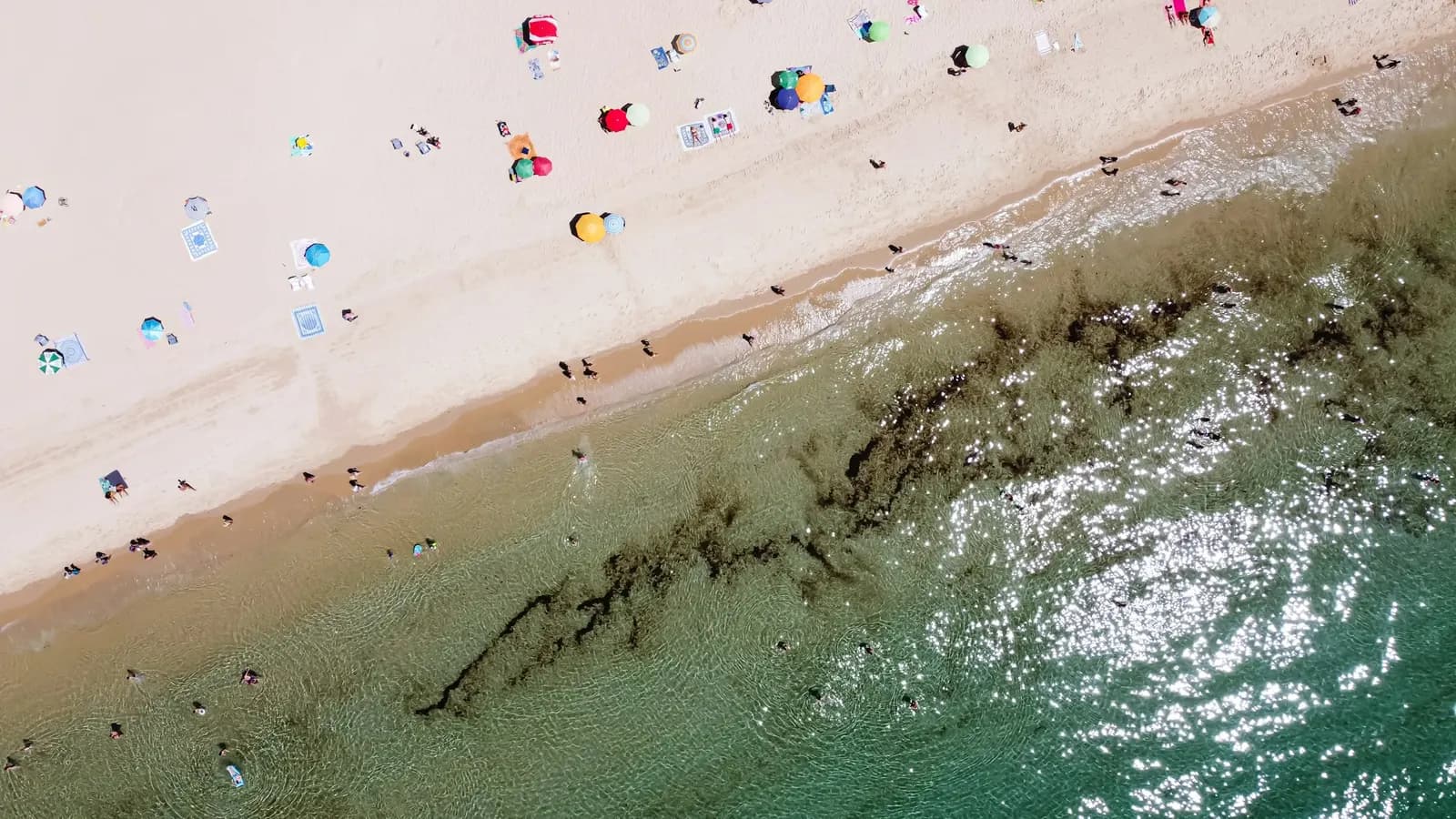
Bolonia bay opens between Punta Camarinal and Punta Paloma, with the shore running south-east to north-west and closed in by the La Plata and San Bartolomé hills. MITECO gives it 3,800 m in length and 70 m in width, white sand, an isolated and protected setting (Estrecho Natural Park), and rates it as windy. There are toilets, showers, sunshade and sunbed hire, beach bars and an unattended car park; the ministry guide notes partial nudism and lists no step-free access. The dune, a natural monument, is at the western end and the Roman ruins sit right behind the beach.
Tip
The levante sweeps the beach from end to end, which is exactly what builds the dune: on strong levante days the sand is a nuisance. The municipal guide then recommends the natural pools at the eastern end.
Photos
 © Valerio Emiliani
 © Miguel Bernardo
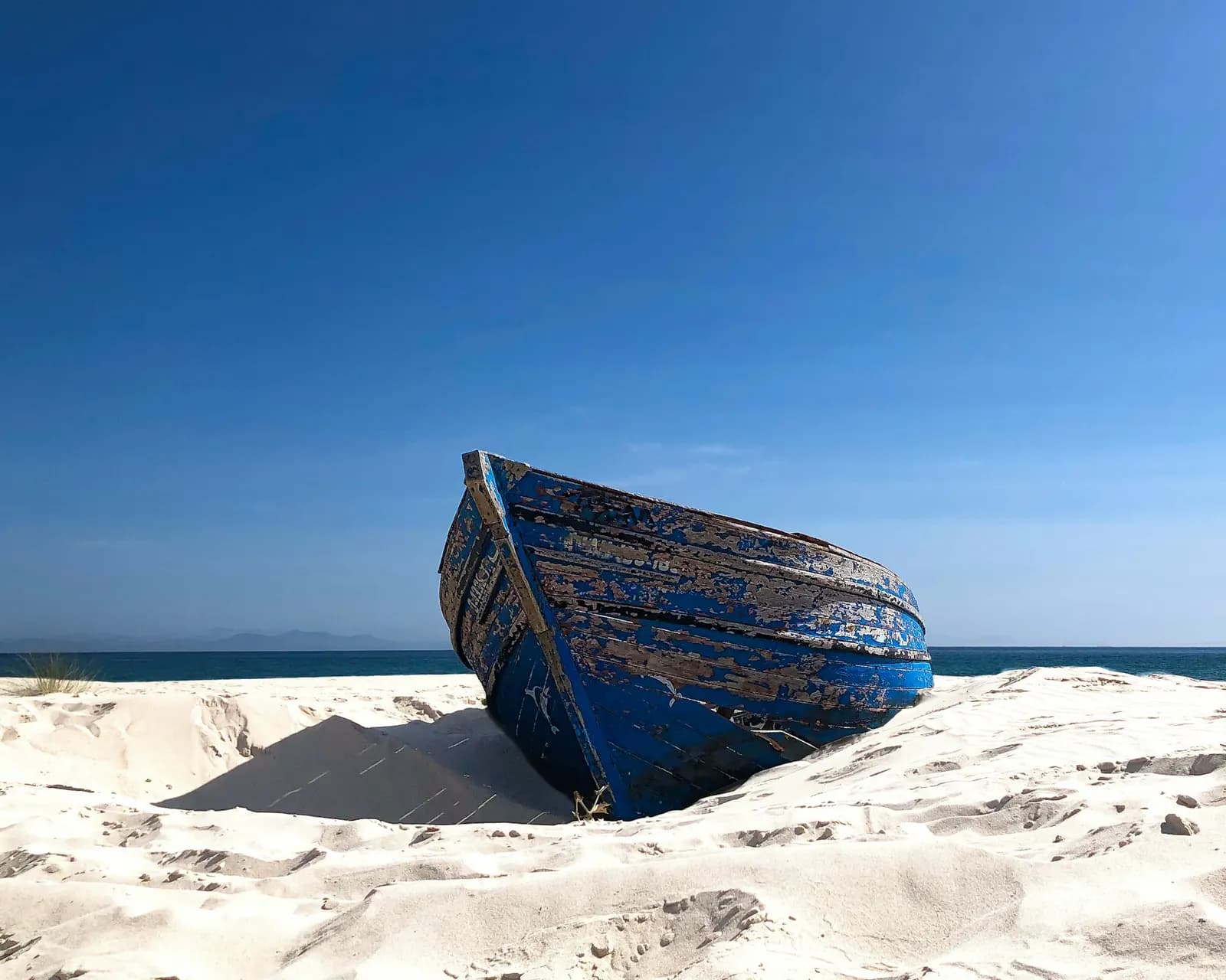 © Torben Gettermann
Getting there
N-340 towards Cádiz to km 70–71, then turn onto the CA-8202, a narrow, winding road that climbs over the Bolonia pass and drops into the bay. MITECO lists an interurban bus line to Bolonia.
Good to know
Good for
FamiliesCouplesGroupsSolo travellers
Best time
Good in ponienteBest without windOpen beachNatureNudistHistoryViewsSunsetParkingSurfFree
What to see