Illustrative photo© Tom Lorber
Camino de la Isla: entre el Atlántico y el Mediterráneo
- Viewpoints
- Views
- Sunset
Always openThe causeway linking Tarifa to the island: a different sea on each side and the town's classic stroll.
Opening timesAlways open
Harbour
What it's like
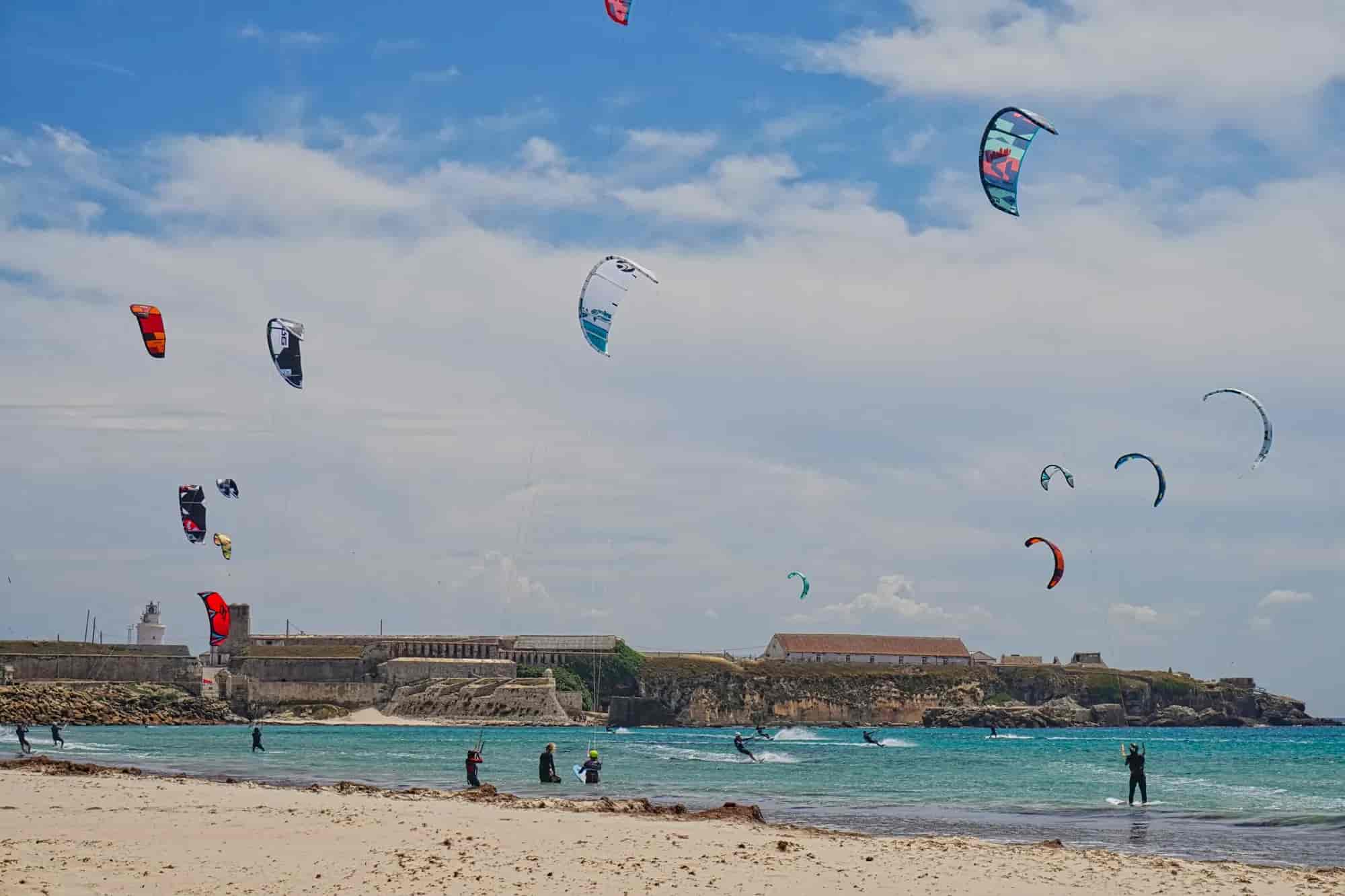
It was built between 1806 and 1808 — by convict labour, according to the municipal leaflet — to join the island to the Santa Catalina hill, about 500 m away. Ever since, it has marked the divide between the Atlantic Ocean to the west and the Mediterranean Sea to the east: Los Lances on one side, Playa Chica on the other. Locals and visitors alike walk it, with Santa Catalina castle behind and the island's fortified north front ahead.
Tip
Nothing stops the wind here: in a strong levante or poniente there is spray and it is hard going.
Getting there
On foot from the harbour, passing below Santa Catalina castle.
Good to know
Good for
FamiliesCouplesSolo travellersSeniorsGroups
Best without windGood in ponienteViewsSunsetPhotogenicHistoryFree
What to see